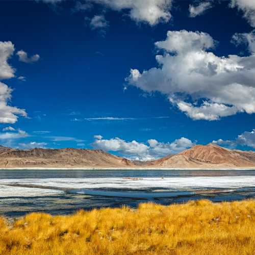
Salt Lake valley
Location: Near Rupshu, Ladakh Region, J&K;
Altitude: 5,000m
Salt Lake Valley Attractions: Tsokar Lake
Puga Lake Valley Attractions: Hot Water Springs
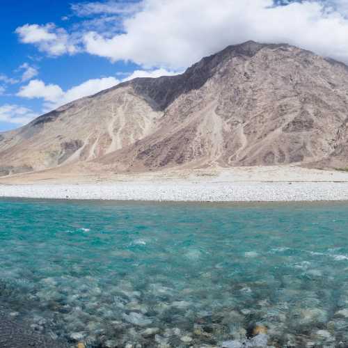
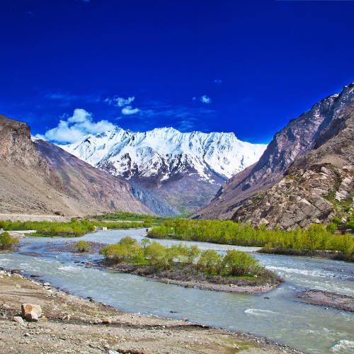
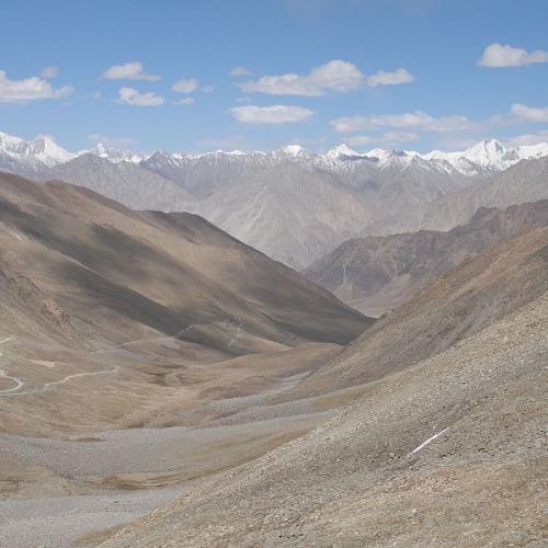
Shyok valley
Location: Ladakh Region, J&K; ;
Main Rivers Of The Valleys: Shyok River & Indus River
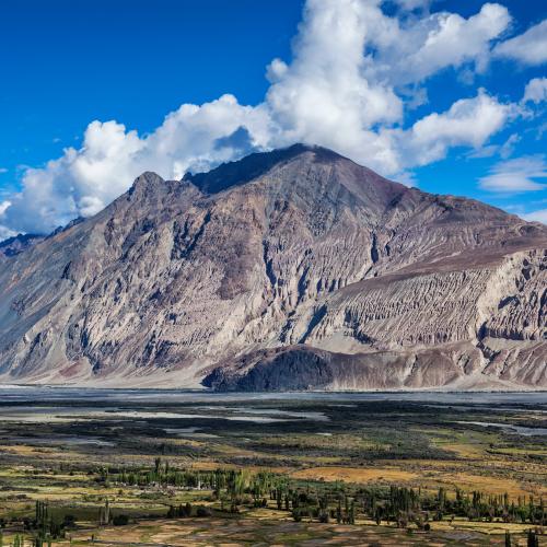
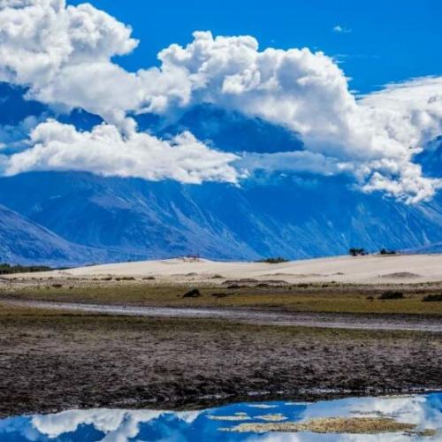
The Nubra Valley
Location: West Of Leh, Ladakh Region, J&K;
Altitude: 18,640 Feet
Main Attraction: Hot Water Springs At Panamik
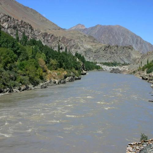
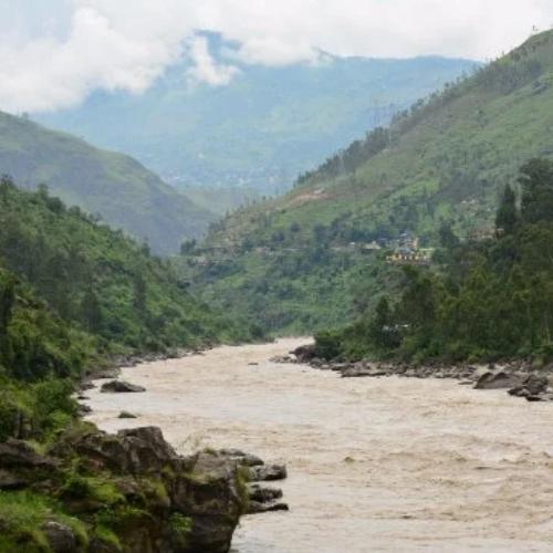
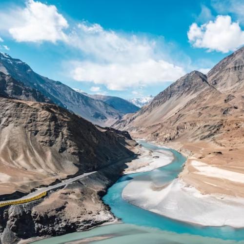
INDUS RIVER
Indus River is one of the longest rivers in India. The River is originates from sacred Lake Mansarovar in Tibet.
Chenab River
The Chenab River is a major river in the state of Jammu and Kashmir in India and Punjab in Pakistan.
Galquit River
The Gilgit River originates from Shandur Lake and proceeds to join the Indus River near the towns of Juglot and Bunji.
Jhelum River
The River Jhelum rises from its chief source Verinag at foothills of Pir Panjal ranges in Jammu and Kashmir .
ZANSKAR RIVER
he Zanskar River is a north flowing tributary of the Indus River in Jammu and Kashmir. Zanskar River has two main branches
SURU RIVER
The Suru River is a 185 km long river tributary of Indus River that flows entirely through the Kargil district in Ladakh.
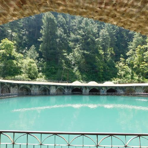
Kokernag springs
Location: 79-km From Srinagar, Kashmir Also Known As: Papashudan Nad Or Sin-Cleansing Springs
Altitude: 20,12m
Houses: A Botanical Garden And A Rose Garden
Verinag springs
Location: Kothar District, 78-km South East Of Srinagar Via Anantnag, Kashmir
Named After: Nila Nag, Son Of Kashyap Rishi
Rebuilt In: 1620 By Emperor Jahangir
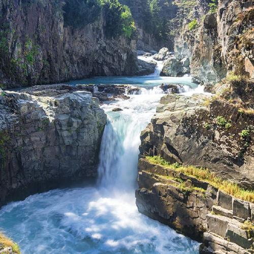
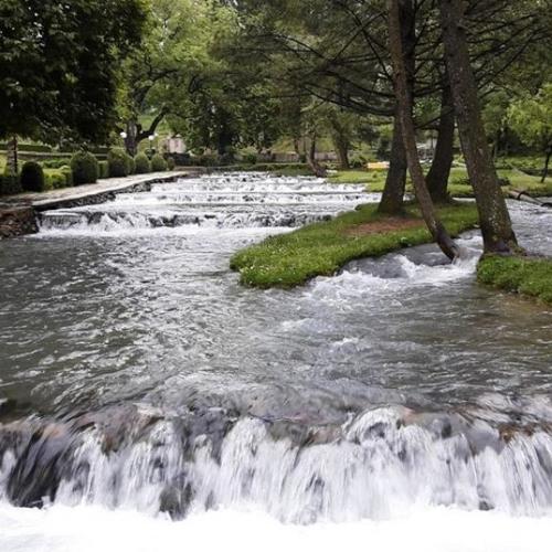
Aharbal
Location: Anantnag Delighful picnic spots Waterfall is also the starting point for intresting treks. (1½ hour drive).
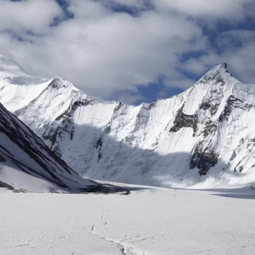
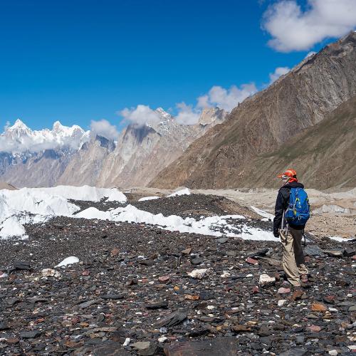
Biafo Glacier
Location: Ladakh, Jammu & Kashmir
Length: 60-km
Baltoro glacier
Location: Jammu & Kashmir
Length: 62-km
Significance: Second Largest Glacier In The Himalayan Region

Hispur glacier
Location: Jammu & Kashmir
Length: 62-km
Significance: Second Largest Glacier In The Himalayan Region
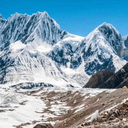
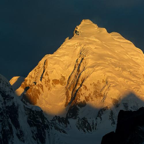
Siachin glacier
Location: Near India-Tibet Border, Jammu & Kashmir
Length: 72-km
Significance: The Largest Glacier In The World Outside The Polar Regions
Nubra glacier
Location: Ladakh, Jammu & Kashmir
Saltoro glacier
Location: JLadakh
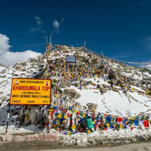
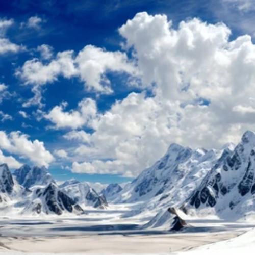
Khardongha Pass
Location: Jammu & Kashmir
Altitude: 5,800m
Historical Significance: One Of The Most Important Passes In The Central Asia Trade Route.
Nearby Pass: Digar La Pass
Korakoram pass
Location: Jammu & Kashmir
Altitude:18, 250 ft.
Significance: One Of The Highest Trade Routes In The World
Siser Le or Saser le
Location: Northern Ladakh, Jammu & Kashmir
Altitude:17, 480 ft

Taglang la pass
Location: Ladakh, Jammu & Kashmir
Altitude: 2,500 Ft.
Historical Significance: One Of The Highest Trade Routes In The World For Yarkand In Central Asia.
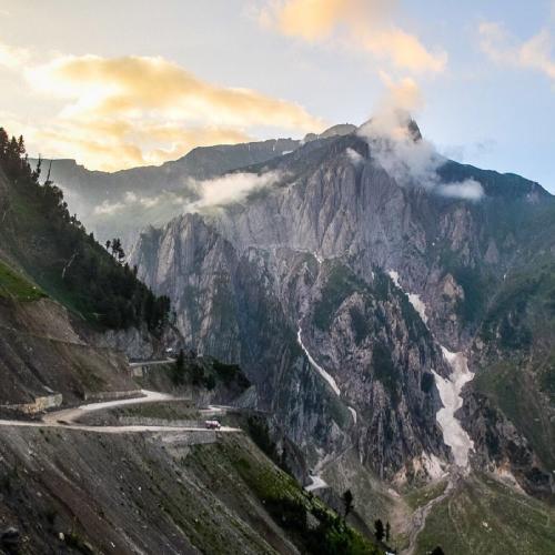
Zozila
Location: On The Srinagar-Leh Highway, Jammu & Kashmir
Altitude:3,465m
Nearby Town: Matayan
Significance: Entry Point Of Ladakh.